In today's classrooms, assessment is key. Parents, school administrators, state legislators and many more want data. Along with standardized testing, I find myself wanting to know more what what my students know in a more authentic and creative way. I also was searching for a way to better support my struggling learners and to help them gain confidence in their own knowledge. As I started this program, I was intrigued with the New Literacies approach and the importance of implementing technology with this new generation of learners. Technology became my tool of reaching my students in a more authentic manner of learning their true knowledge of various subjects. By following my own circle of technology: providing, viewing, creating. I can build an assessment tool for my students to use and manipulate on their own to better share their understanding with me.
|
With this lesson, students read nonfiction articles from a school subscription and followed the "Close Reading" approach with the teacher. As a follow up lesson, students used the Tackk website, as mentioned earlier, to create their own nonfiction article on a topic of their choice. Research was done using subscriptions provided from the school ensuring safety and comprehension levels. 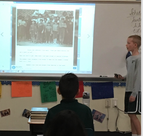
Another way of incorporating technology is with science labs. In this lab, students worked together to create a movie showing potential and kinetic energy, as well as force and acceleration. Not only are the students engaged, but they also are showing that they know the content in a real-world application: |
First is a lesson guided for using technology to show students' knowledge on finding main idea and details of a nonfiction text. We started with providing a source for students to use, then students viewed the technology by "playing" with it before starting the assessment, finally, students created their own masterpiece providing authenticity in the form of a media-styled poster. Tackk video |
|
While teaching Geography, Google Earth is a great resource for students to display their knowledge of landforms, landmarks, directions, and neighborhoods. In the following lesson, students worked previously on a region of North Carolina then applied Google Earth to their project by finding a landmark in their region and using Google Earth to reveal the main characteristics of a coast, piedmont, or mountain region in North Carolina. In the future, a teacher could have students record their voices and present that way as well. |
|
